Dear Scottsdale Resident:
The City of Scottsdale’s idea to have a variety of committees confront the future of the McDowell Road corridor is commendable and productive. But will it ultimately yield the imagination to catapult revitalization of one of the city’s most vexing challenges?
We believe imagination is key. There are no bad ideas when considering how to arrest the certain decline now facing the southern city’s spine.
It took imagination to create the McDowell Sonoran Preserve; imagination to launch the Indian Bend Wash and imagination for a robust arts scene.
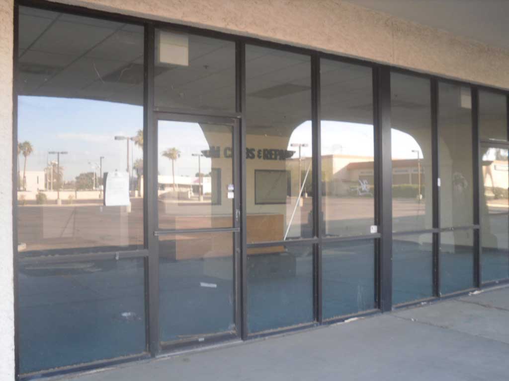
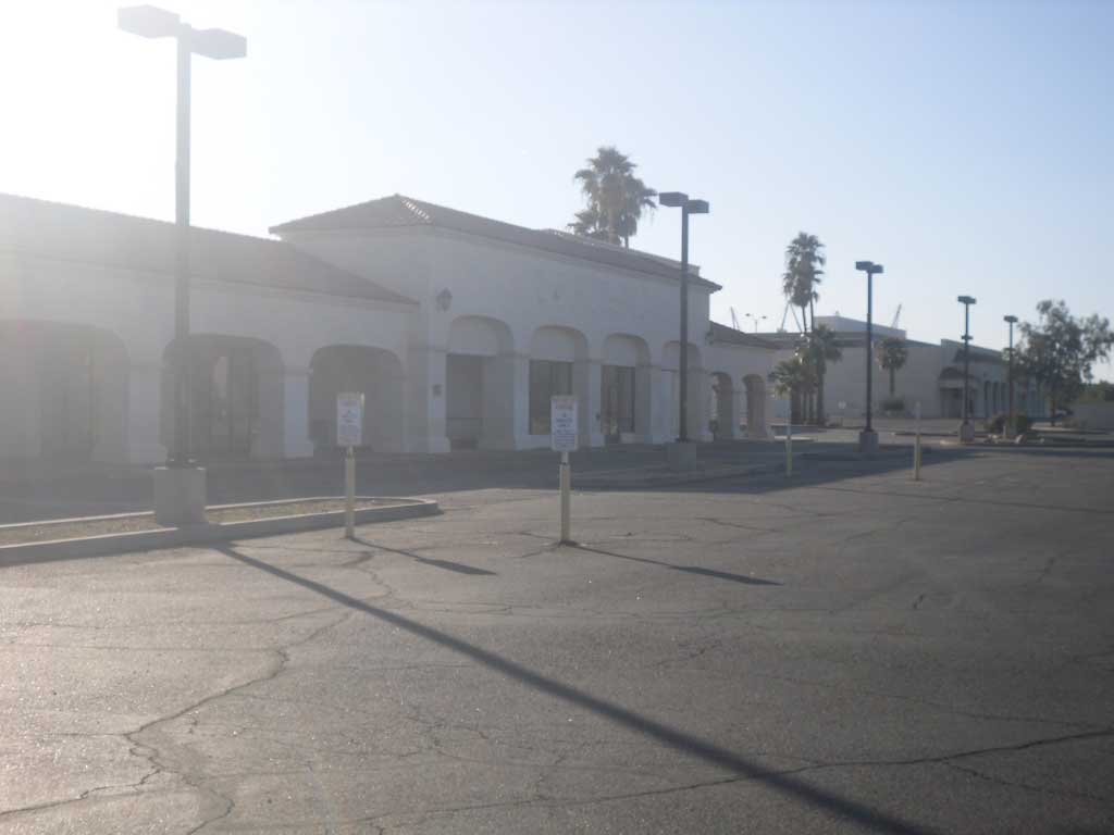
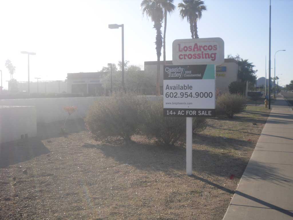
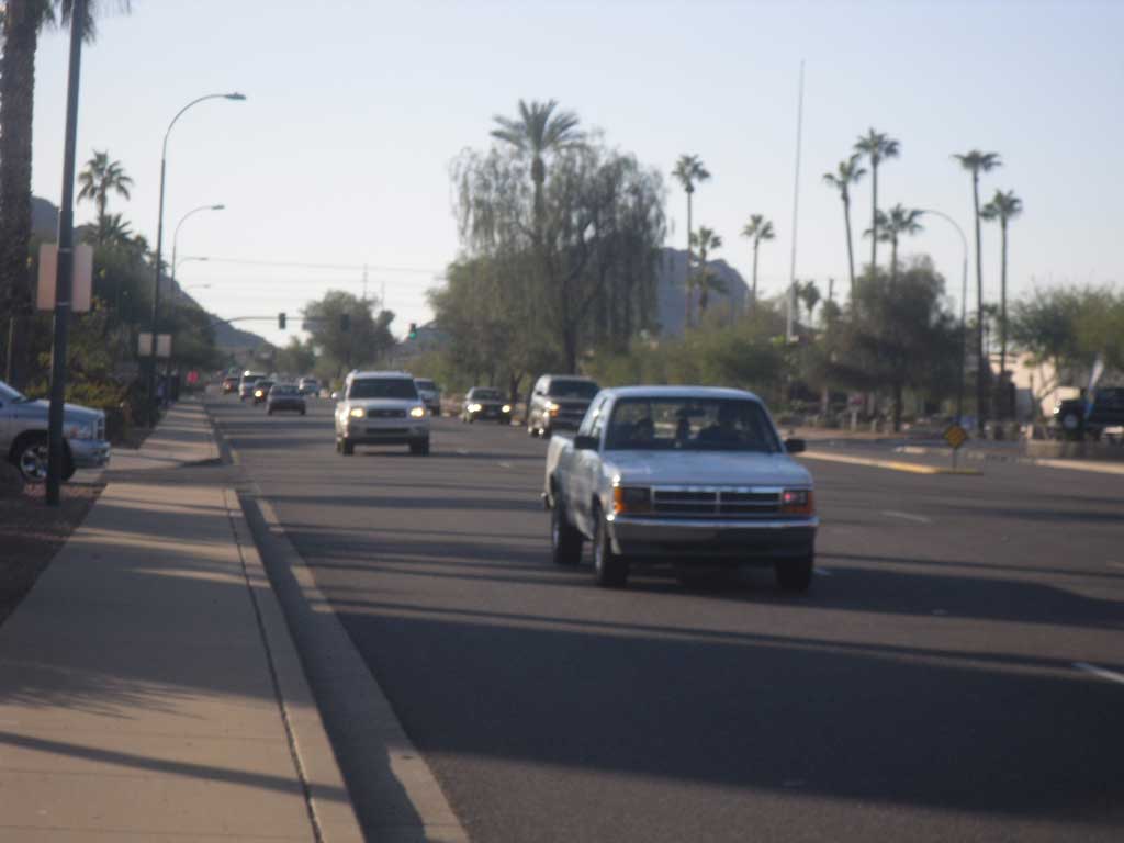
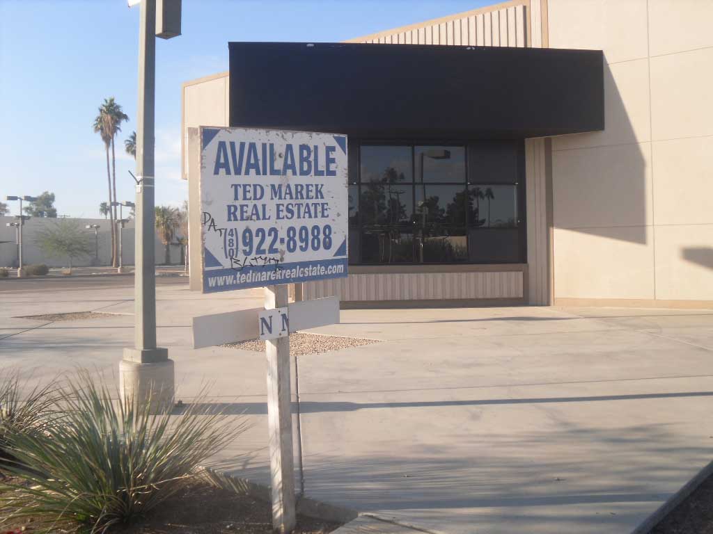
Typical planning and municipal band aids as more and more car dealers depart will leave this part of our community little different than Glendale Avenue between 43rd and 55th Avenues. Despite a lot of brain cells and efforts this stretch of car dealers that once were have more tumbleweeds than tenants.
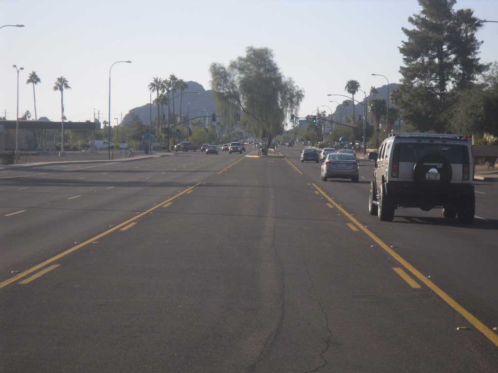
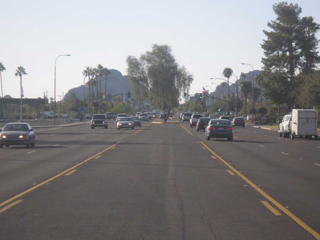
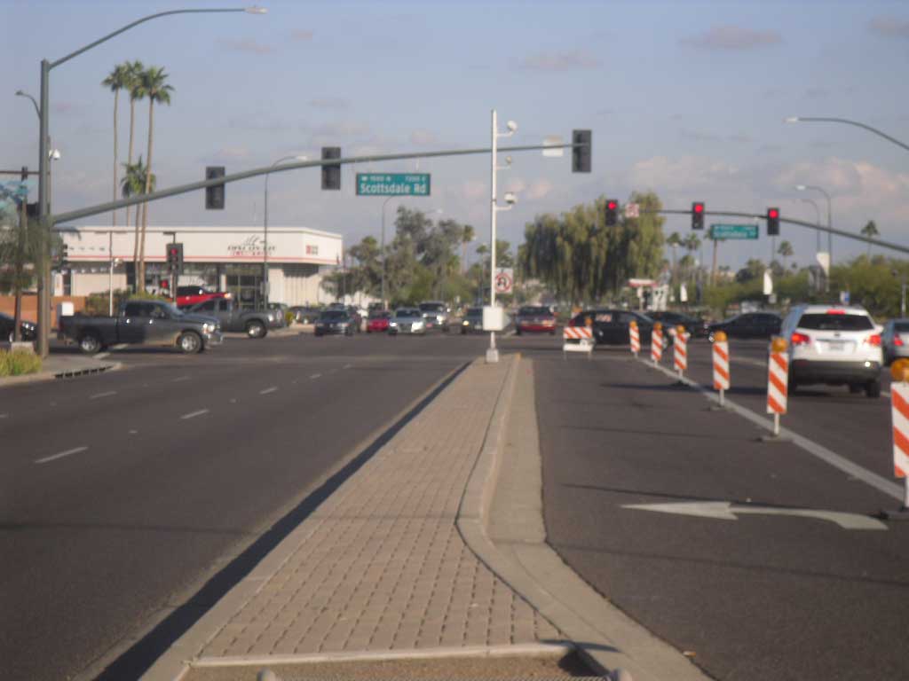
And so it will be in Scottsdale. The car dealerships back up to residential, severely limiting one option, height. And the lots are narrow, limiting their redevelopment potential.
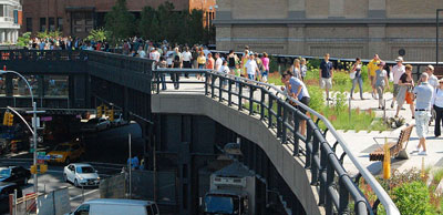
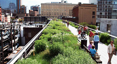
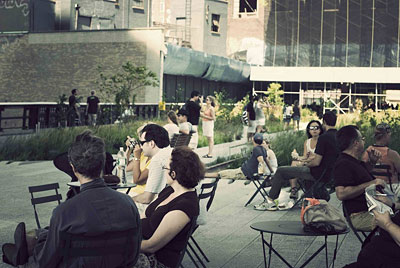
So what is Scottsdale to do? We believe it should involve radical surgery. And the idea was actually created by a stroll through New York City. There, the city’s “High-Line Trail” emanating from the Meat Packing District near Greenwich Village and proceeding through Chelsea, has created an elevated park where once an old rail line ran. In Scottsdale terms, you might think of and enjoy it as an urban version of the Indian Bend Wash. But it hasn’t just become a great social and recreational amenity for Manhattan residents, it has sparked hundreds of millions in new investment next to, over and under it. Museums, hotels, offices, residences. All want to take advantage of one of the great municipal works.
It is working there and it would work here. To some extent, Scottsdale history will be our predicter. After the Indian Bend Wash was created people didn’t just look to it as a great place to walk, bike, jog and play. Capital flocked to its banks and hundreds of millions in private sector investment sprung up in the form of stores, apartments, offices, condominiums and homes.
GC1.60 – Downloadable PDF file.
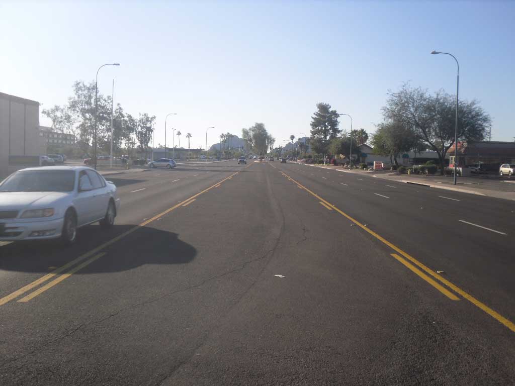
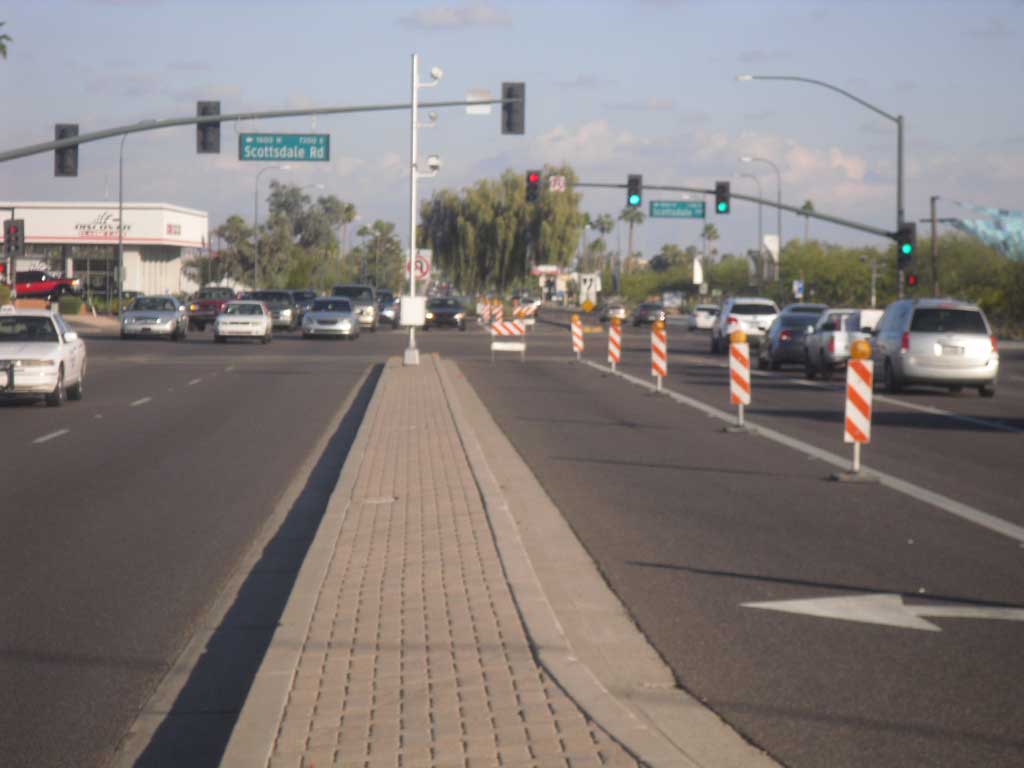
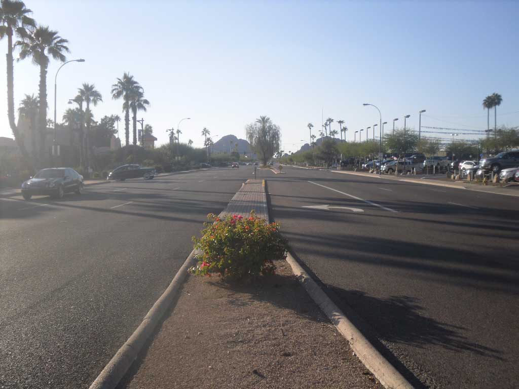
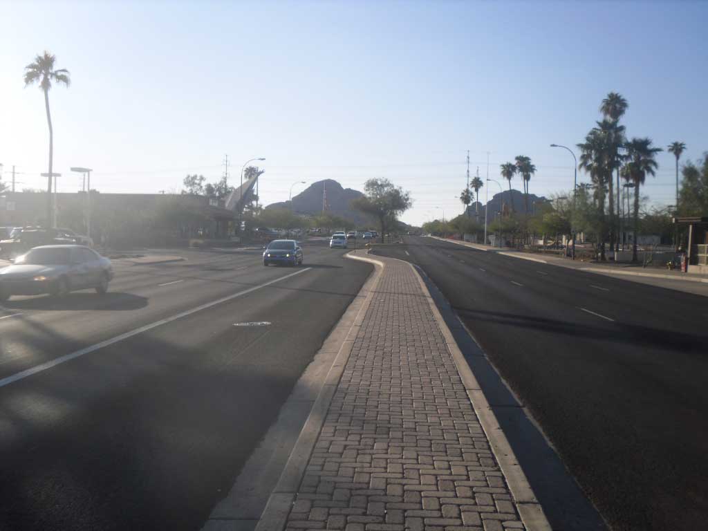
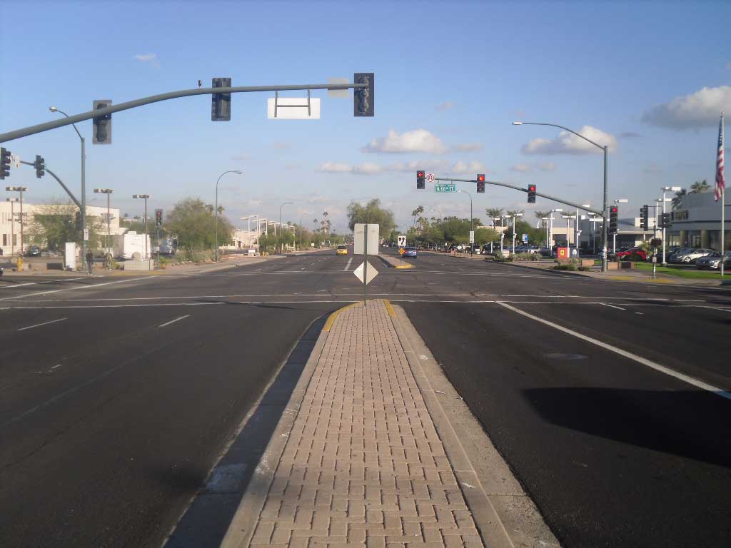
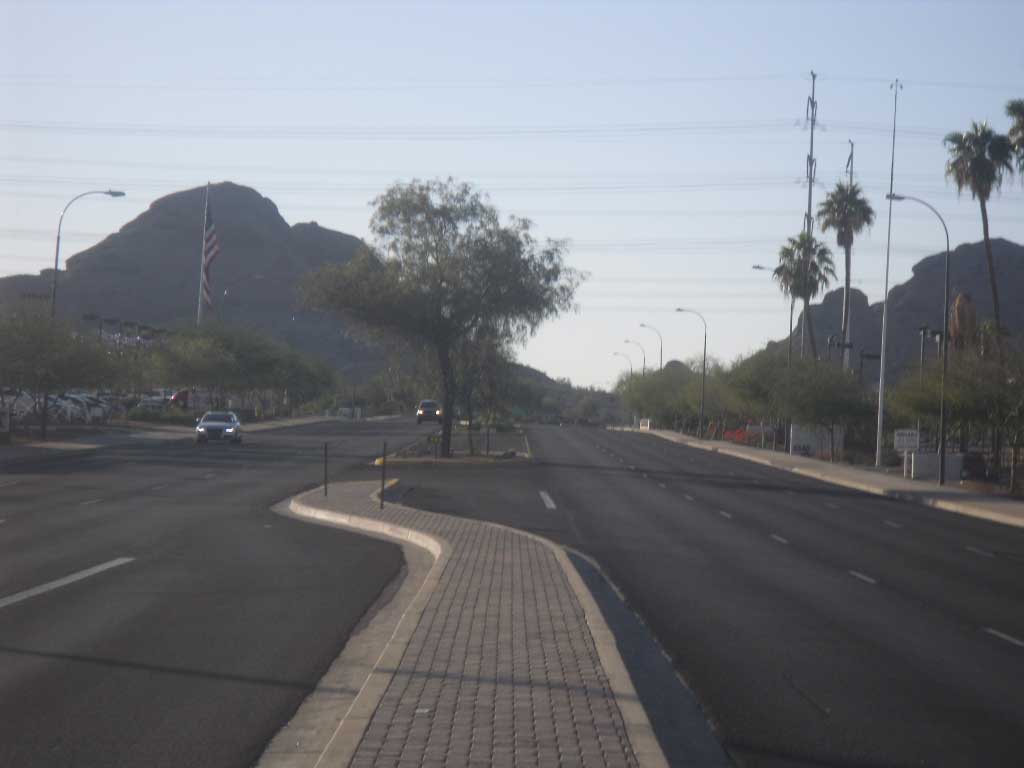
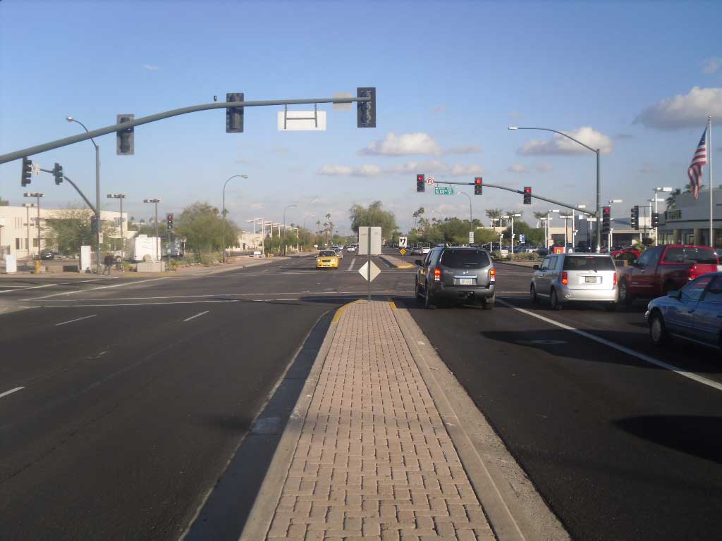
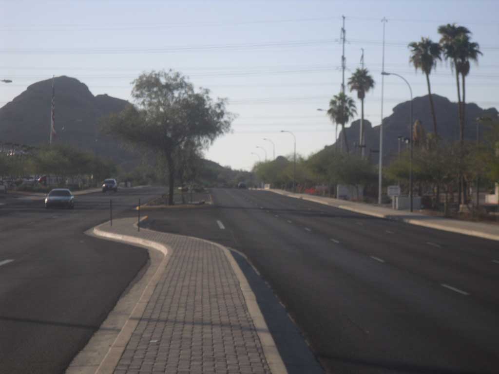
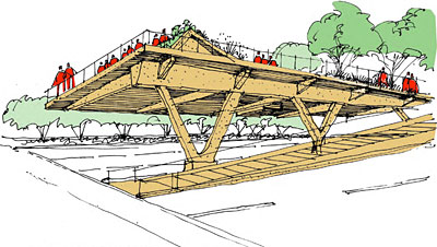
So, how might something like this look like for McDowell Road? We are not suggesting a replication of what has emerged in New York. But we can learn and borrow from the success. A distinctly Scottsdale-version of the High-Line Trail would emanate out of the Indian Bend Wash near McDowell and Miller and run the roadway’s course – on or over the median right of way – until it would terminate in Papago Park. A path would then lead to an outdoor amphitheater just a short distance away near the South Papago Butte on the south side of McDowell Road. Designed for some 3,000-4,000 seats it would be a spectacular setting for events and performances, providing even more economic activity for the west end of McDowell Road.
Think of the potential.
Connecting two great parks: the Indian Bend Wash and Papago Park with one uninterrupted experience.
Traffic lanes would be reduced to two lanes in each direction, something city planners say is achievable and responsible.
Since public dollars would be used a design competition would take place among local and national architects.
People would be able to get on and enjoy the experience at many points along the way, just as occurs in New York. But it would be elevated over all intersections creating a uniquely landscaped, uninterrupted experience.
Interesting you may say, but how would something like this get done? It cannot be done without public money. Scottsdale public money has made possible the achievements mentioned above and it is well past time the southern city got some attention too.
Depending on the public's reaction to this proposal — what they like and what they don't, elements that stay in and those that may not — architects and engineers estimate the cost at some $30 - $60 million. That is a fraction of the cost that has been spent on McDowell Mountain preservation, for example.
But the beneficiaries would not just be those in the south – or those who use this new, amazing urban park – every single taxpayer would benefit as more economic activity flows again on McDowell Road, generating tens of millions in new tax revenue.
Gaining approval for a project like this could take several forms: a bond proposition on Scottsdale’s ballot in November, 2012; the same in 2014; or the council could act on its own. There may be other ideas too. Importantly and based on community feedback we are prepared to personally fund a citizen's initiative to place this matter before voters.
We believe this, or something like it, is what it will take to avoid the unavoidable, slow decline on McDowell Road. This, we believe, is what it will take to truly transform an area, forget hockey arenas past and forge ahead with a street that is sailing somewhere. Somewhere great.
Some may think ideas like this are too much. And those opinions are to be respected. But similar critics decried mountain preservation. The Indian Bend Wash. The Center for the Arts. Scottsdale Fashion Square. Cattletrack. The list goes on.
Scottsdale: can we do something great again? There are many needs in Scottsdale. But none as great as McDowell Road. With an imaginative proposal we may be able to finally achieve the area's revitalization, raise property values, spur the Scottsdale economy and create another great parks and recreation amenity for all of its citizens.
Let us know what you think. It will help determine if we move forward or how we move forward.
Sincerely,
Jason Rose
Rose+Moser+Allyn Public & Online Relations
Scottsdale, Arizona
Douglas Sydnor, FAIA
Douglas Sydnor Architect and Associates, Inc.
Scottsdale, Arizona
Disclaimer: Neither one of us has any client interest with this proposal, nor are we being compensated.